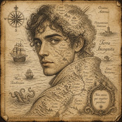
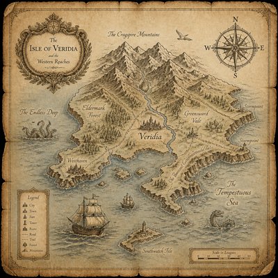
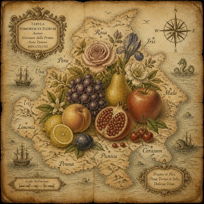
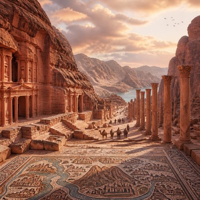
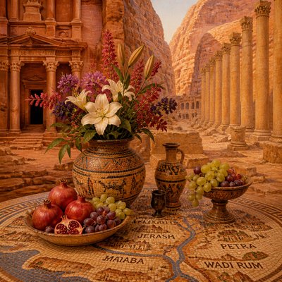
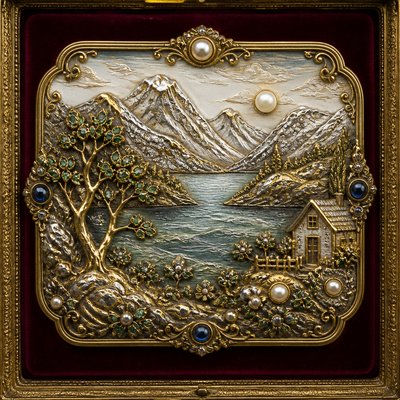
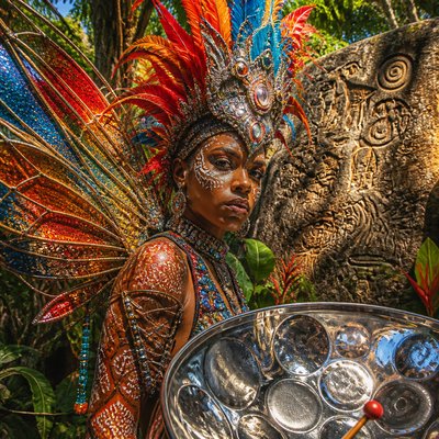
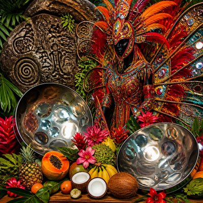
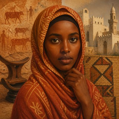
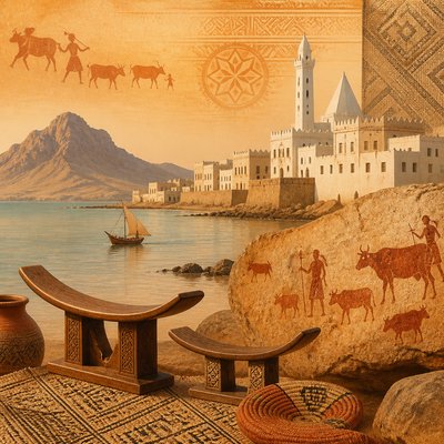
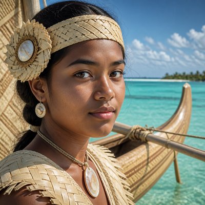
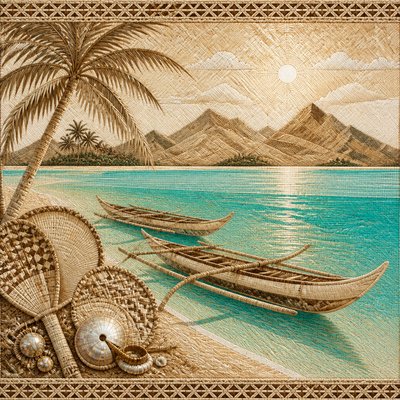
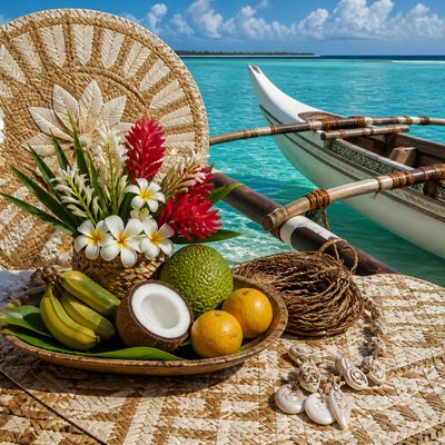
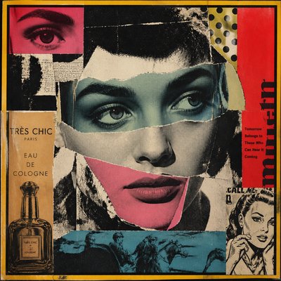
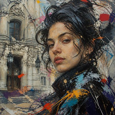
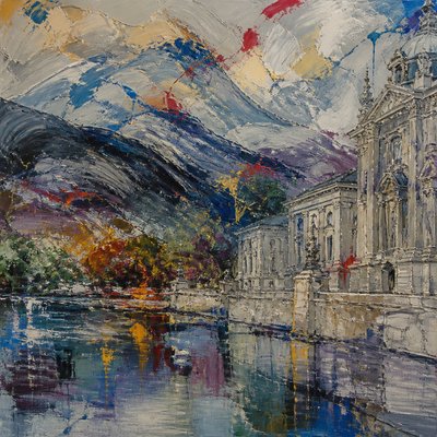
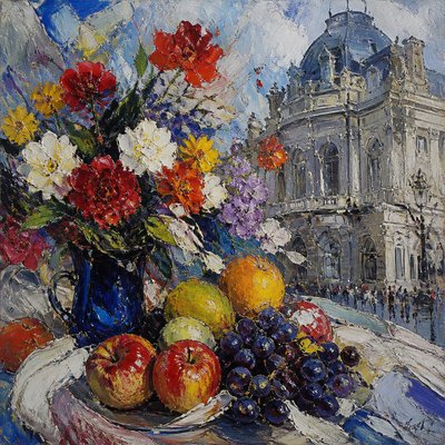
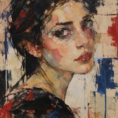
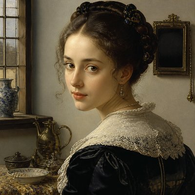
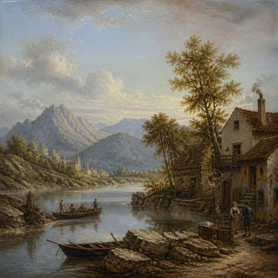
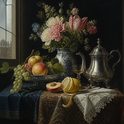
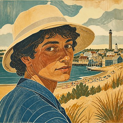
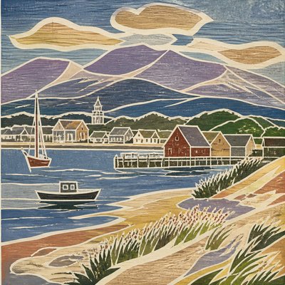
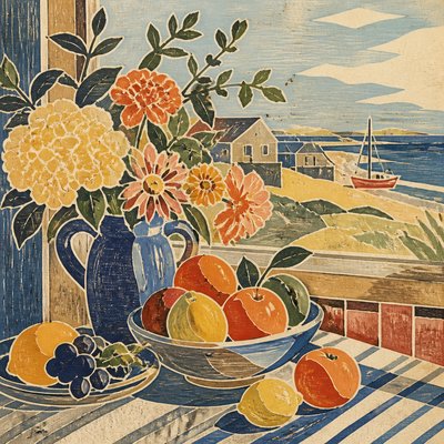
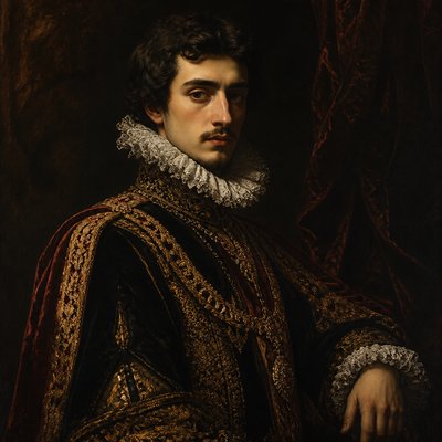
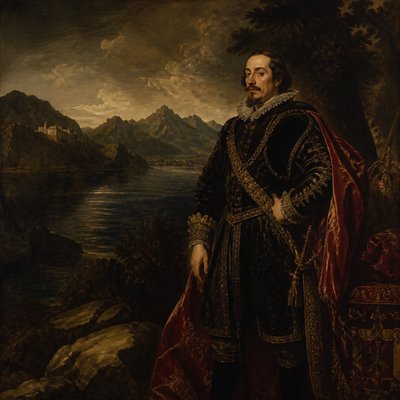
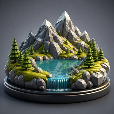
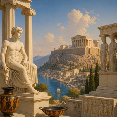
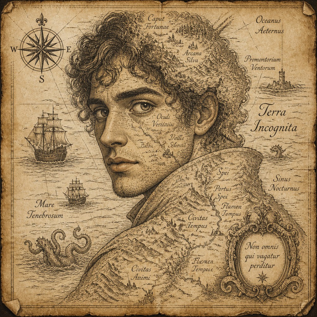
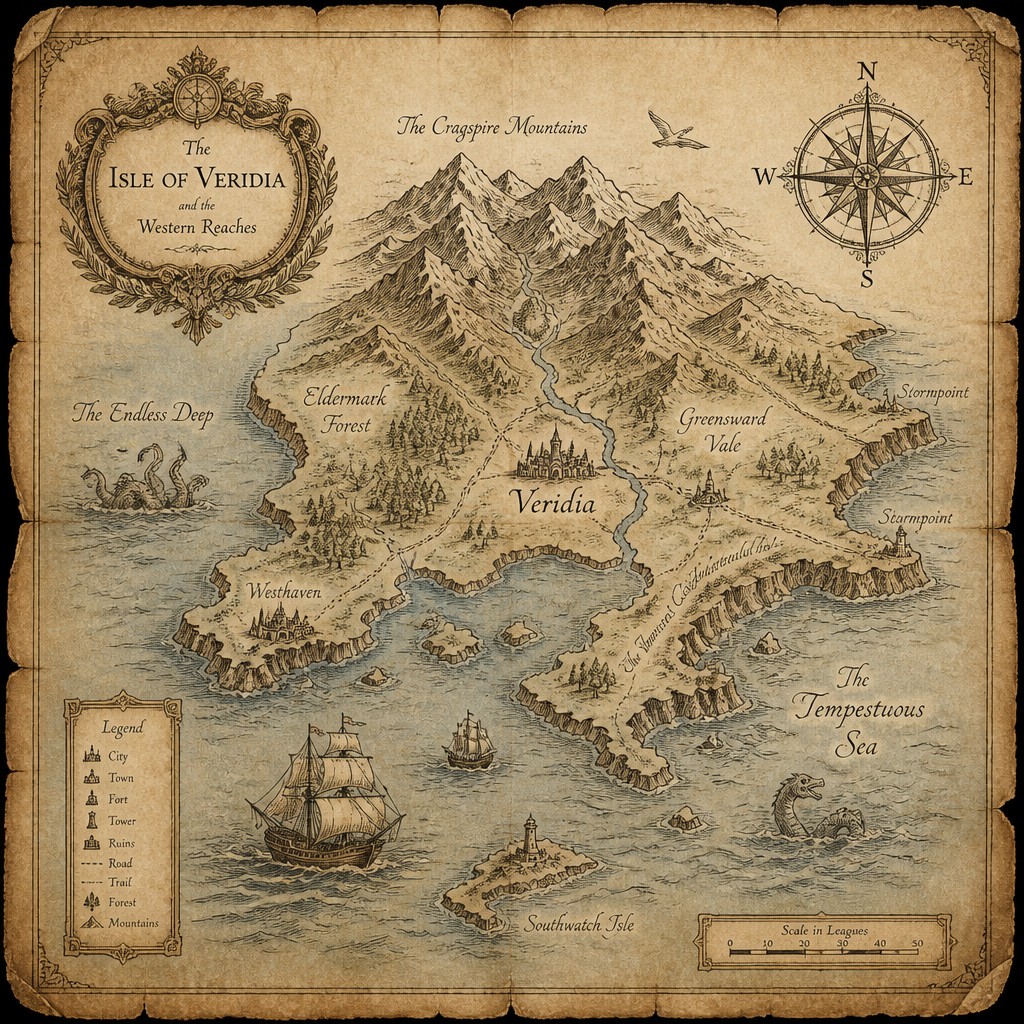
Explore Map Art Style: ornate cartographic illustration with aged parchment, inked coastlines, compass roses, sea monsters, ships, and calligraphy.
Instantly rendered in Map — or transform a photo
Map Gallery
Tap any artwork to explore it
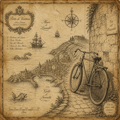
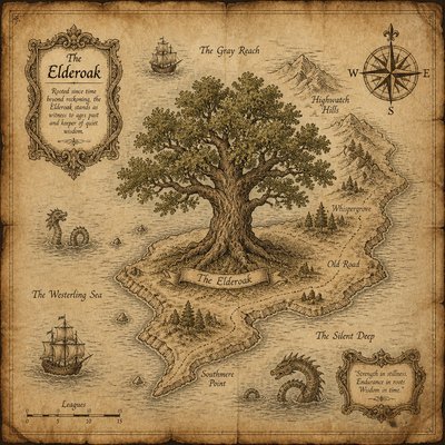
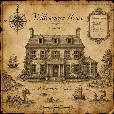
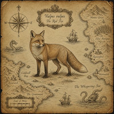
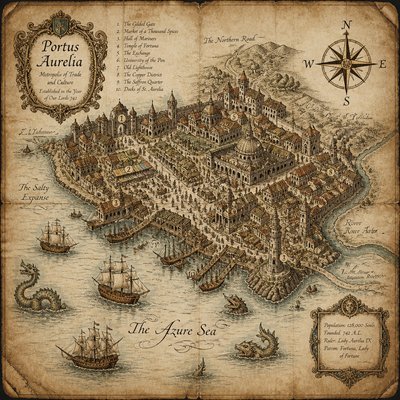
What is Map Art Style?
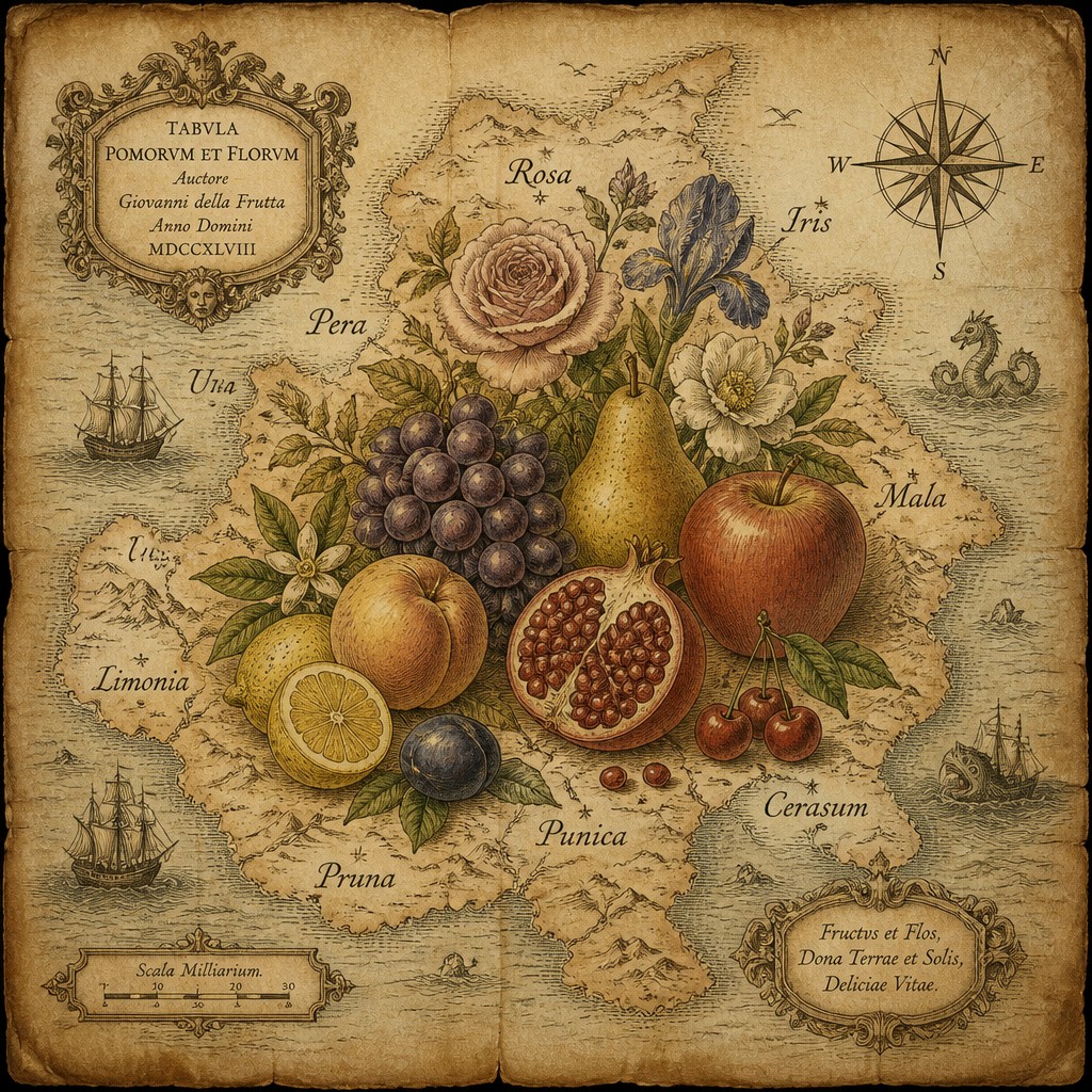
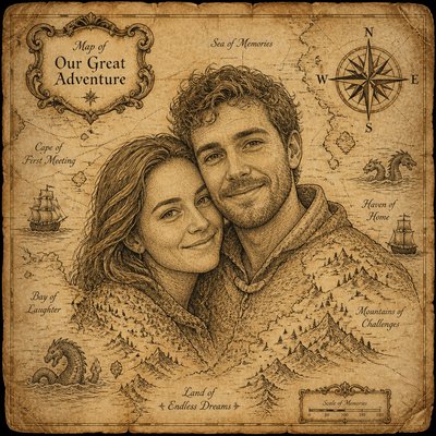
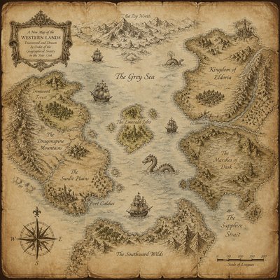
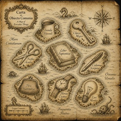
Map Art Style transforms geography into decorative illustration. It combines recognizable coastlines, rivers, borders, mountain ranges, and place names with ornamental elements such as compass roses, cartouches, sailing ships, sea monsters, heraldic symbols, and elaborate marginal details. The result is both a navigational image and a visual narrative about how a culture imagines and organizes the world.
Its visual identity depends on the tension between measured structure and imaginative embellishment. A limited palette, aged vellum, fine ink lines, hatched relief, browned edges, and elegant lettering evoke historic maps and atlases, while decorative motifs fill unused spaces and give the composition a theatrical, collectible quality. Contemporary versions may map fictional worlds, personal journeys, cities, landscapes, or imagined histories.
Try It On Your Photos
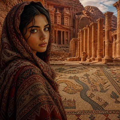
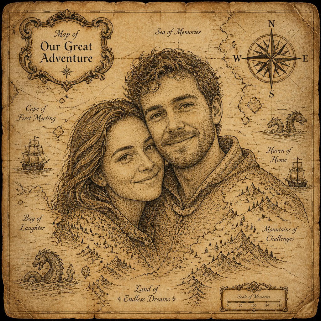
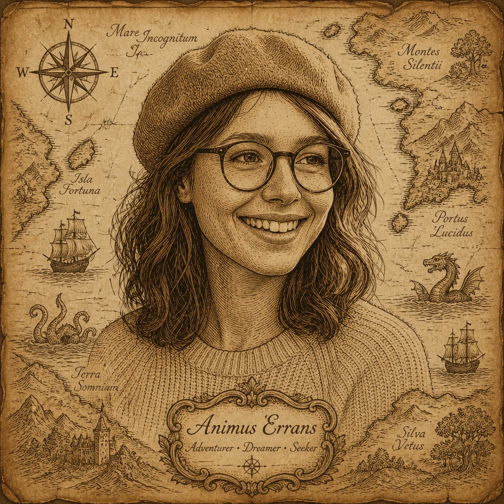
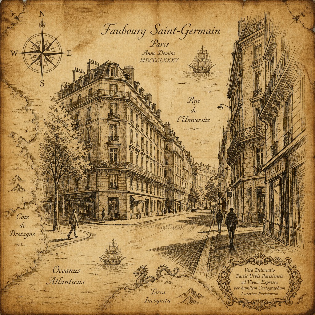
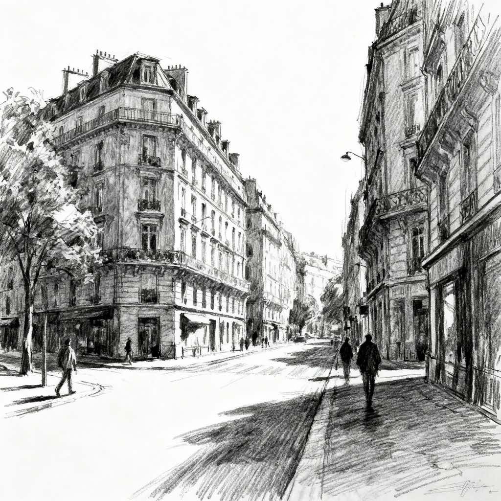
Upload any photo and convert it into Map Art Style — drag the sliders to compare before and after.

Or use the free Map photo filter
What Defines Map Art Style
The signature details, up close
Aged parchment and vellum
Warm ivory, sepia, and muted tan surfaces suggest old paper or animal-skin vellum. Browned edges, creases, stains, and uneven coloration create the impression of a preserved historical document.
Hand-inked geography
Coastlines, rivers, islands, borders, and mountain chains are drawn with delicate pen lines and controlled irregularity. Fine hatching gives relief and terrain a tactile, engraved appearance.
Ornamental cartouches
Decorative panels frame titles, legends, dedications, or explanatory text. Scrollwork, ribbons, shields, architectural borders, and allegorical motifs turn functional information into a focal point.
Compass roses and navigational symbols
Large compass roses, directional markers, scale bars, wind lines, and route indicators provide visual structure. Their symmetry contrasts with the organic shapes of coastlines and illustrated terrain.
Maritime imagery
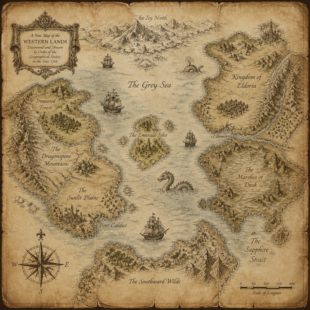
Sailing ships, sea monsters, waves, mermaids, whales, and maritime emblems occupy open water. These elements recall the uncertainty, exploration, and storytelling associated with historic sea charts.
Calligraphic place names
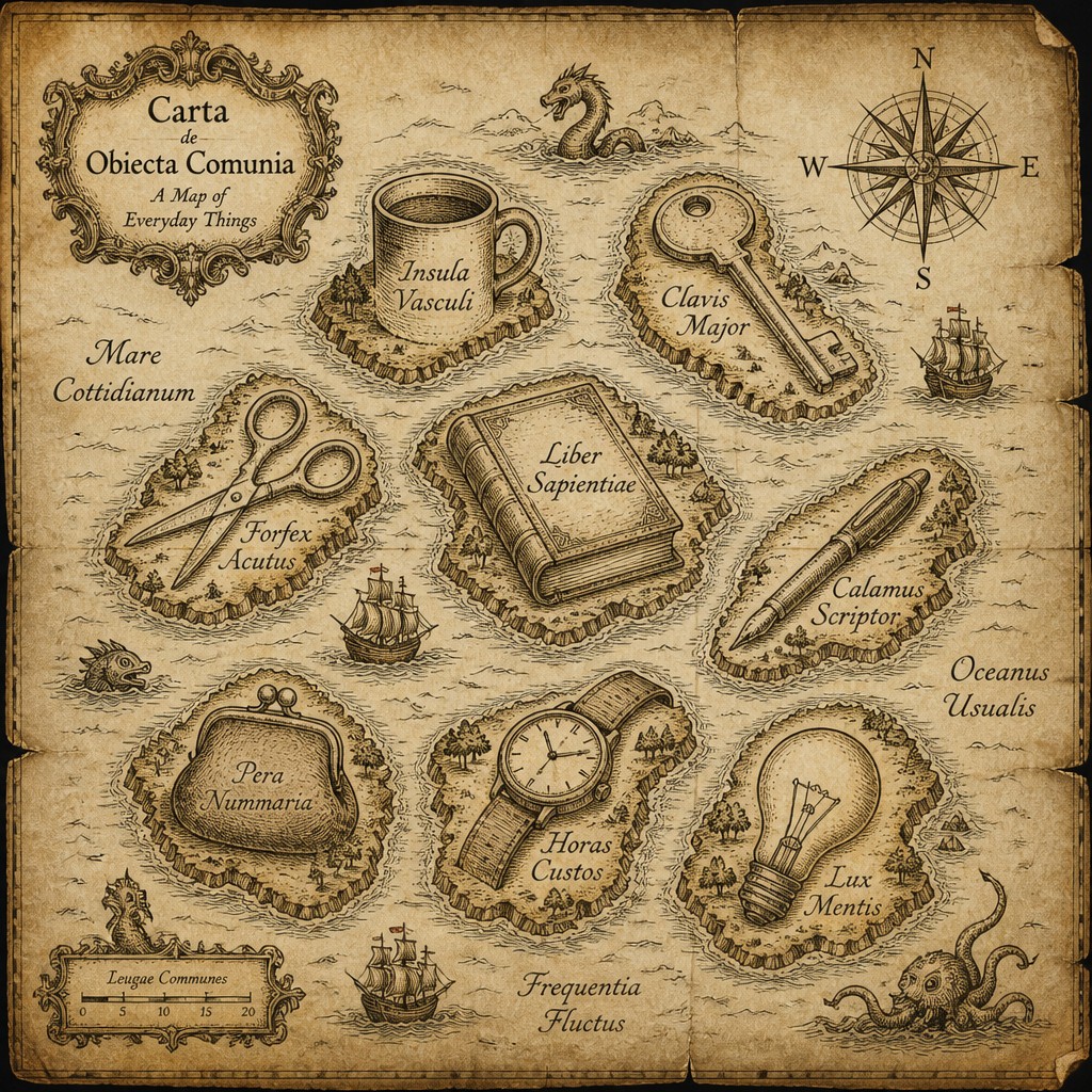
Elegant serif, italic, or hand-lettered typography follows coastlines, rivers, and regional contours. Text is treated as part of the composition rather than as a separate informational layer.
Restricted antique palette
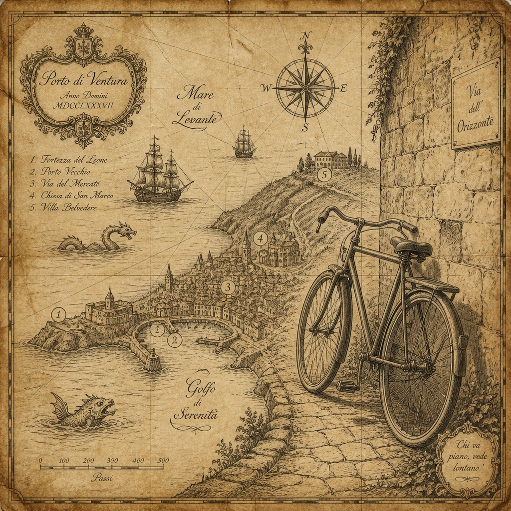
The dominant colors are parchment cream, umber, ochre, faded red, desaturated blue, moss green, and charcoal ink. Subdued tones unify geographic data and decorative illustration into a coherent vintage surface.
Map Prompt Ideas
Start from an idea — each one opens the generator with the style ready to go. See all 40 Map prompts →
How to Create Map Art
Master the craft step by step — or skip straight to creating. Read the full guide →
- 1
Build the geographic framework
Begin with a clear coastline, river system, island group, city plan, or fictional terrain so the image has an intelligible structure. Even an imaginary map benefits from consistent scale, directional logic, and a recognizable visual hierarchy.
- 2
Use layered line work
Draw primary boundaries with confident ink lines, then add lighter hatching for mountains, forests, waves, and elevation. In digital work, separate coastlines, labels, terrain, ornaments, and paper texture onto editable layers.
- 3
Design a strong ornamental frame
Add a compass rose, cartouche, scale bar, title panel, border, and small heraldic or maritime motifs before filling every empty area. Decorative elements should balance the map rather than obscure its main routes and landmarks.
- 4
Age the surface carefully
For traditional work, use toned paper, sepia ink, watercolor washes, and controlled edge darkening; avoid excessive staining that hides fine details. Digitally, combine a parchment texture with subtle grain, faded pigments, crease overlays, and irregular opacity.
- 5
Control lettering and readability
Use a restrained combination of calligraphic display lettering and legible small labels, following geographic curves where appropriate. In prompt-based generation, specify the exact title or omit text when accurate lettering is important, since generated text may be inconsistent.
- 6
Write a precise generation prompt
Describe the subject, map type, geography, materials, ornament, palette, and level of detail in that order. Useful terms include aged vellum, hand-inked coastlines, engraved hatching, ornate cartouche, compass rose, maritime creatures, calligraphic labels, and browned creased edges.
The Story
History & Origins of Map
Map Art Style is not a single historically codified movement; it is a modern aesthetic category based on the decorative traditions of historical cartography. Its lineage includes ancient geographic diagrams, medieval world maps, portolan charts, Renaissance and early modern atlas plates, nautical charts, military surveying documents, and illustrated travel maps. From the medieval period onward, maps often combined geographic information with religious symbolism, regional imagery, ships, animals, rulers, and imagined creatures.
During the sixteenth through eighteenth centuries, improved surveying and printing encouraged increasingly detailed maps, while engraved borders, ornamental title panels, allegorical figures, and decorative lettering remained central to presentation. Modern map art revives these features through illustration, poster design, fantasy cartography, heritage graphics, and digital composition, often prioritizing atmosphere and storytelling over geographic accuracy.
Influences: The style draws from medieval mappae mundi, portolan charts, Renaissance and early modern atlas engraving, nautical charts, military survey maps, illuminated manuscripts, heraldic design, and nineteenth-century illustrated travel maps. It also overlaps with fantasy cartography, vintage poster design, manuscript illumination, engraved illustration, and decorative information graphics, combining factual map conventions with imaginative visual storytelling.
Frequently Asked Questions
What defines Map Art Style?
It is defined by the combination of geographic structure and ornamental illustration. A typical image includes inked coastlines, terrain hatching, compass roses, cartouches, calligraphic labels, aged paper, and decorative maritime or heraldic imagery.
Is Map Art Style a historical art movement?
No. The term describes a contemporary visual category rather than a formally organized historical movement. It synthesizes features from several centuries of cartography, engraving, manuscript art, nautical charts, and fantasy illustration.
Does a map have to be geographically accurate?
No. Accuracy depends on the purpose of the image. A historical or educational map may require careful geographic research, while decorative, fictional, and fantasy maps can prioritize narrative, atmosphere, symbolism, and visual balance.
How is this different from an ordinary vintage map?
A vintage map is usually an original historical document or a faithful reproduction of one. Map Art Style is broader and more interpretive, often adding imagined creatures, elaborate decoration, fictional places, dramatic lettering, and narrative details that were not part of a practical surveying document.
What materials work best for creating this style?
Traditional methods include ink, nib pens, watercolor, colored pencil, toned paper, and handmade or commercially prepared parchment-like surfaces. Digital artists can recreate the effect with vector coastlines, textured brushes, layered hatching, engraved patterns, paper scans, and carefully controlled sepia color.
Where is Map Art Style commonly used?
It appears in fantasy worldbuilding, book covers, tabletop games, museum and heritage graphics, travel posters, editorial illustration, personal memory maps, fictional histories, and decorative wall art. It is especially effective when the map must communicate both place and story.
Create your first Map artwork
Describe anything — or upload a photo — and see it in Map Art Style in seconds.
Related Styles
Discover similar art styles