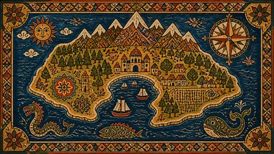
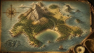
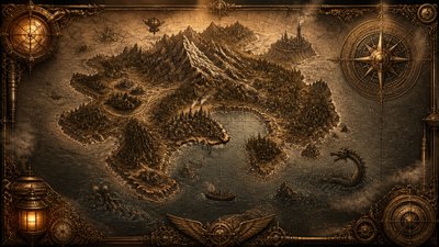
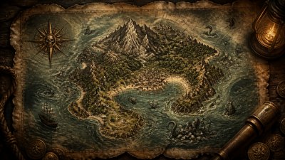
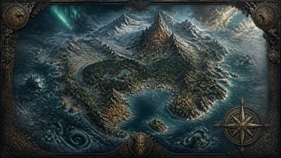
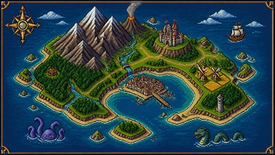
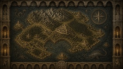
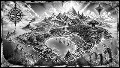
Aerial Drone Photography Style Fantasy Map
Create Aerial Drone Photography Style fantasy maps with AI — describe anything and get a widescreen fantasy map in seconds.
Rendered in Aerial Drone Photography at 1536×864 — learn about this style
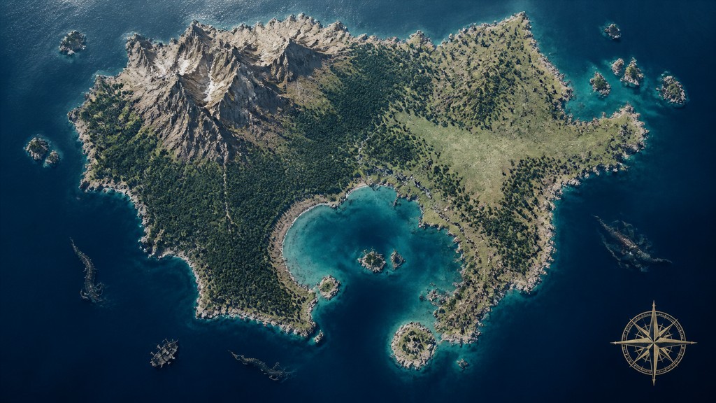
Why Aerial Drone Photography Style Works for Fantasy maps
Bird's-eye drone photography with geometric patterns, abstract landscapes, and crisp documentary clarity from high overhead.
- ✦Bird's-eye viewpoint: The camera looks downward from high above, often nearly perpendicular to the ground. This top-down angle is the defining feature that turns terrain and built environments into legible shapes.
- ✦Geometric composition: Fields, roads, buildings, and shorelines are arranged as lines, blocks, arcs, and grids. The best images often feel composed around symmetry, repetition, or strong directional structure.
- ✦Flattened spatial reading: Height reduces perspective distortion and compresses depth, so scenes appear more graphic than immersive. Objects are read as surfaces and outlines rather than as three-dimensional forms.
Those qualities translate directly into fantasy maps: the style stays readable at wide banner formats, and every generation is unique to your prompt. Want the full picture? Explore the Aerial Drone Photography Style guide →
How It Works
Describe it
Type what you want your fantasy map to show.
Generate
The AI renders it in Aerial Drone Photography Style at 1536×864 — regenerate and refine as much as you like.
Download & use
Save your fantasy map and use it anywhere.
Frequently Asked Questions
How do I make a Aerial Drone Photography Style fantasy map?
Type what you want into the generator (or upload a photo), and it renders your fantasy map in Aerial Drone Photography Style at 1536×864 — sized and framed for fantasy maps. You can iterate as many times as you like until it's right.
Is the Aerial Drone Photography Style fantasy map maker free?
You can try it free — every new account gets credits to generate. No design skills or software needed.
Can I use my own photo?
Yes — switch to Image to Image mode, upload a photo, and it will be transformed into Aerial Drone Photography Style while keeping your subject and composition.
What size is the fantasy map?
Fantasy maps generate at 1536×864 pixels (16:9 widescreen), and you can upscale or re-generate at other sizes in the generator.